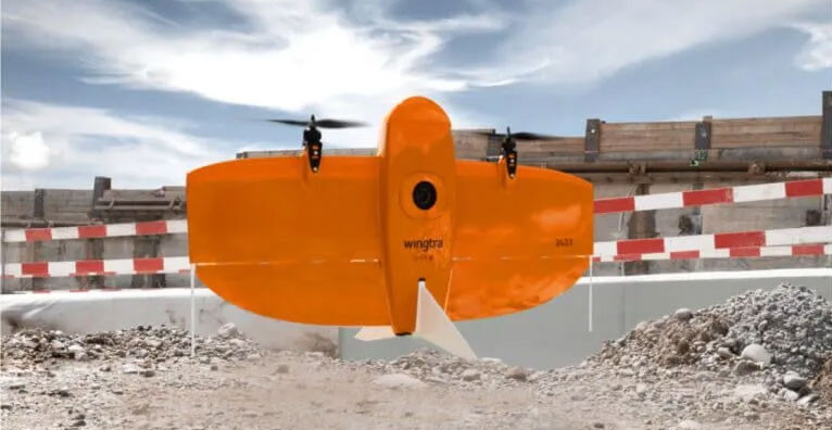
WingtraOne Gen II
Get Your Survey Data Faster!
The WingtraOne mapping drone’s unique set of features empowers you to minimize your time flying and get more work done, be it another project in the field or analyzing your data at the office.
SITECH Tejas offers a comprehensive selection of Wingtra equipment to help you find the right aerial mapping drones and tools for your application.
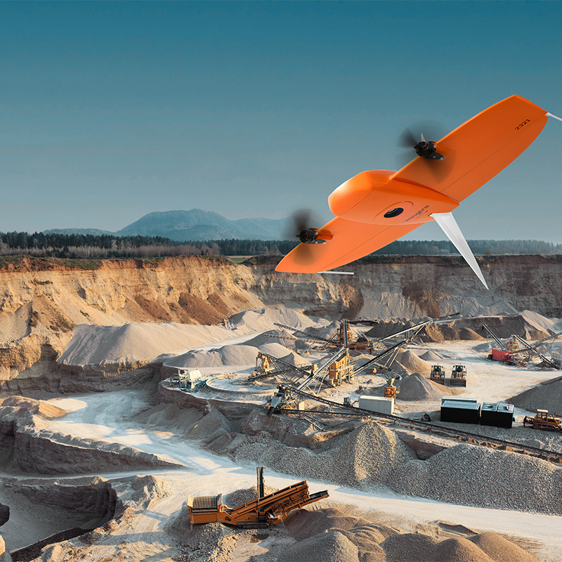
Survey More in a Single Flight.
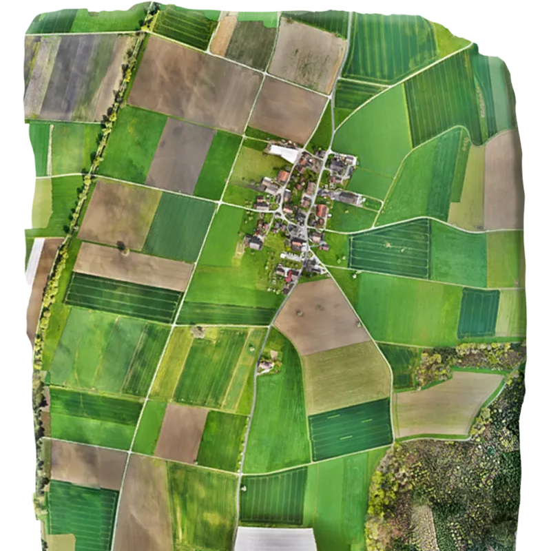
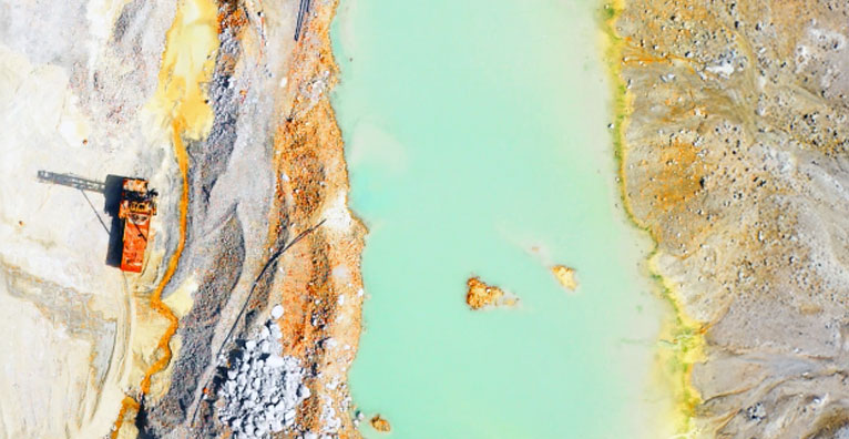
Whether it’s a highway, an industrial complex or a mine, you can now take on large projects that were previously impossible to map with a drone. And it takes you just a few hours. Maximum coverage with one flight at 120 m (400 ft) flight height.

Efficient Fixed-Wing Flight
Fly at 16 m/s (36 mph) for up to 59 minutes per flight for large coverage.

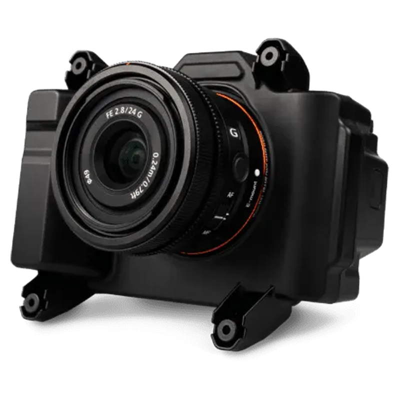
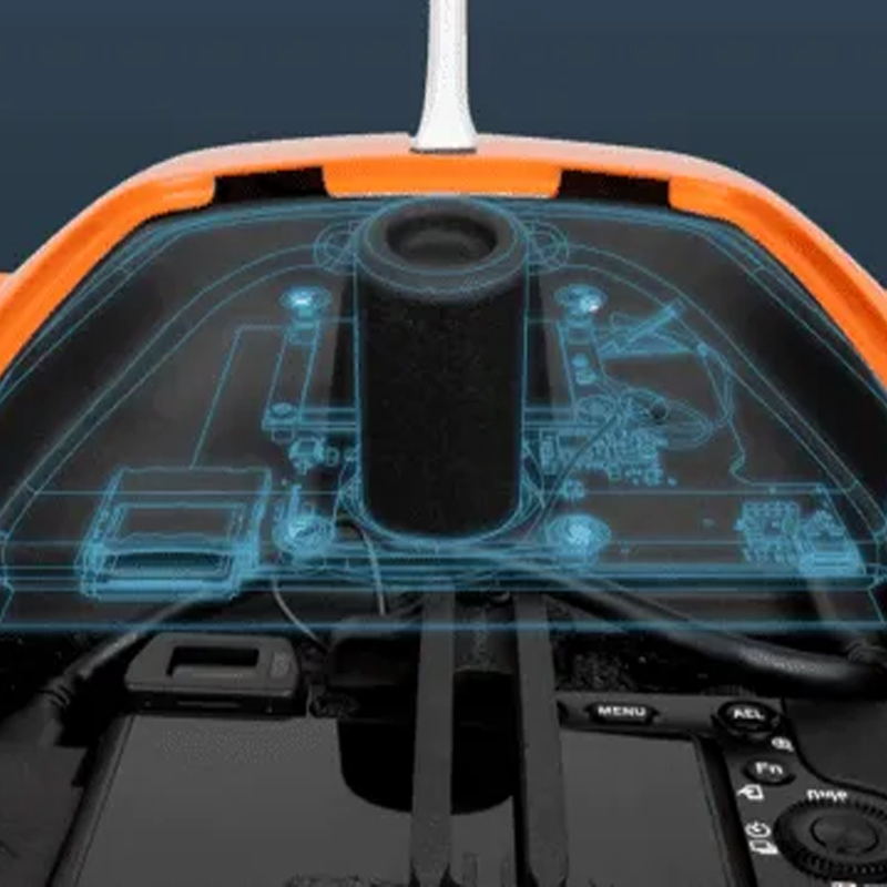
61 MP Camera
WingtraOne can fly higher than drones limited to 20 MP cameras, so you capture more ground and more detail with every picture and a larger area per flight.

No More GCPs — Checkpoints Only
With an onboard high-precision PPK GNSS receiver you no longer need to lay out ground control points (GCPs). Use as few as three checkpoints to verify your map quality.

Lower Image Overlaps
High quality optics means you can reconstruct your map reliably even with lower overlaps. This means more new ground covered per flight line and maximum coverage per flight.
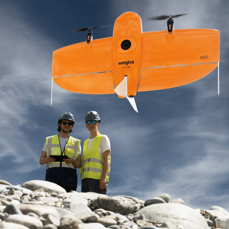
A Mapping Drone for Anywhere
Fast and accurate surveying data every time.
Thanks to its VTOL design, WingtraOne can take-off and land almost anywhere—even in confined spaces or on rough terrain. This enables you to collect data where other drones cannot.
WingtraOne’s camera never comes into contact with the ground, meaning no debris scratching your camera lens and thus a longer equipment lifetime.
Survey Data Quality That Will Set You Apart
State of the Art Photogrammetry
Equipped with a 61 MP full-frame camera powered by Sony, the WingtraOne takes sharp and undistorted nadir images with high pixel density, resulting in a GSD of down to 0.7 cm / px.
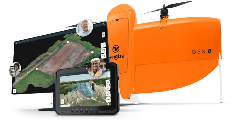
Software for a Smooth Workflow
Scale your mapping operations with ease.
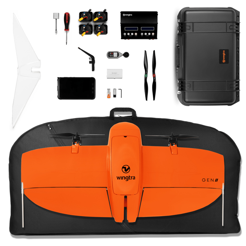
WingtraOne comes with a rugged tablet and a feature-rich, easy-to-use flight planning app, so you can perform successful data collection from day one.